UReader
Brands
Sign in
Sign up
Newsletter Search Engine
Dates
2025 (205704)
2026 (57341)
2024 (51094)
Business Categories
General
(99921)
Other
(57148)
Home
(21876)
Fashion
(20918)
Electronics
(16561)
Literature
(11182)
Sports
(11054)
Art
(8491)
Machinery
(5000)
Health
(4654)
Food
(2908)
Country
GLOBAL
(36184)
CO
(19575)
NL
(17191)
AU
(16719)
GB
(14830)
NZ
(14762)
US
(13520)
BE
(13139)
DE
(8887)
FI
(8556)
CL
(7647)
CA
(7436)
PL
(7294)
RO
(7127)
ES
(6741)
HU
(6477)
ZA
(6413)
IL
(5950)
AR
(5935)
DK
(5630)
FR
(5284)
SK
(5214)
BR
(5153)
HR
(5061)
IT
(4973)
CZ
(4640)
PT
(4480)
SE
(4452)
IE
(3832)
GR
(3812)
NO
(3773)
SG
(3132)
CH
(3042)
BG
(2908)
RU
(2606)
MY
(2273)
UA
(2246)
MX
(2150)
AT
(2120)
JP
(2117)
PE
(1846)
RS
(1760)
TR
(755)
VE
(750)
IO
(667)
ID
(589)
TW
(586)
PK
(575)
IQ
(540)
HK
(497)
MA
(476)
PH
(435)
TV
(408)
AE
(315)
TH
(248)
KW
(188)
KP
(108)
VN
(54)
EG
(42)
IN
(8)
KZ
(4)
MD
(2)
NU
(2)
LT
(1)
BA
(1)
LK
(1)
Total 314139 mails
rebatesme
US
·
2026-6-11
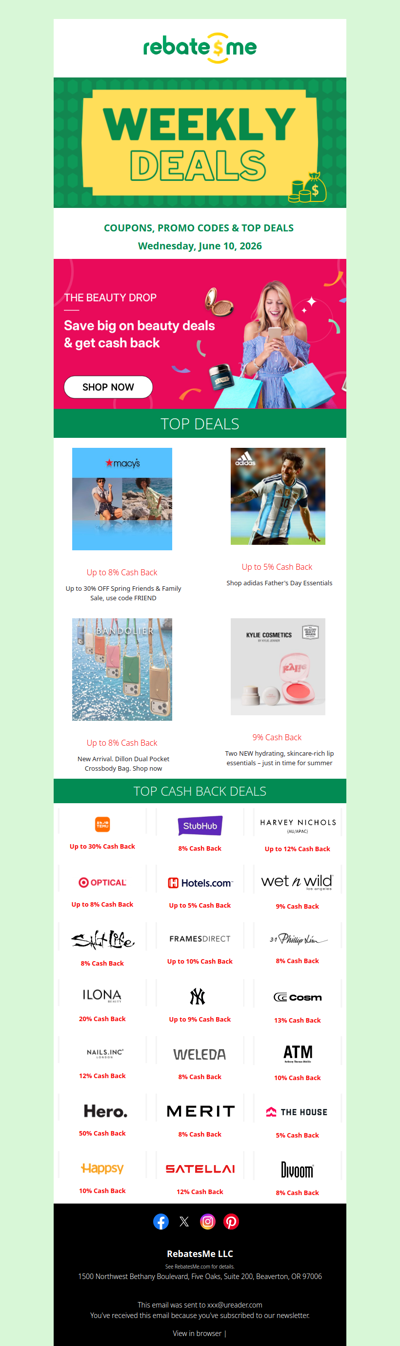
💋 Beauty Deals + Cash Back = A Perfect Match
spigen
GLOBAL
·
2026-6-11
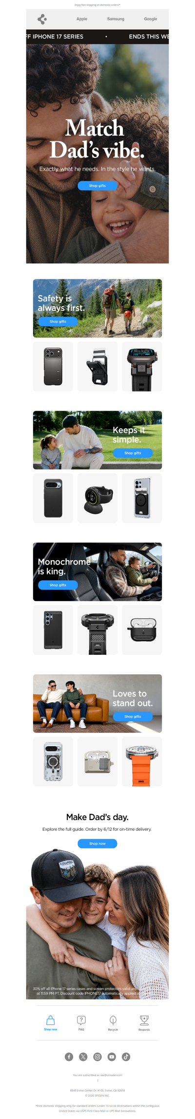
Father’s Day is closing in.
esh2u
MY
·
2026-6-11
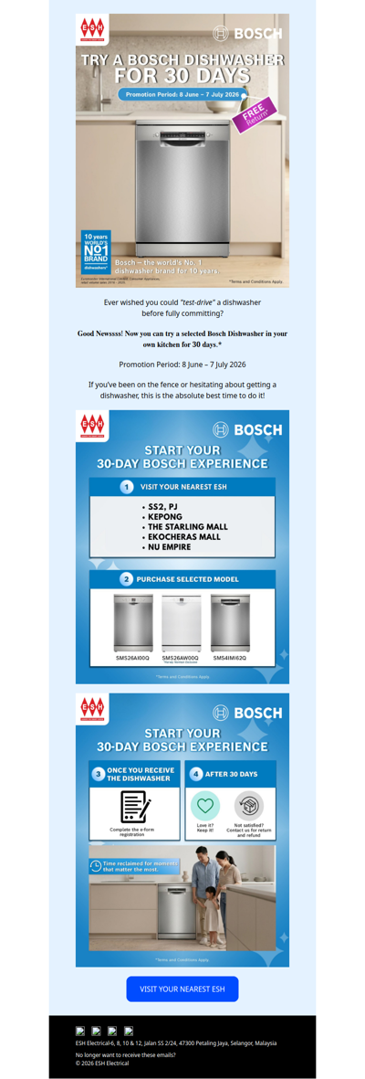
Bring Home Bosch Dishwasher & Experience a 3️⃣0️⃣-Day Trial Today🏠
booktopia
AU
·
2026-6-11
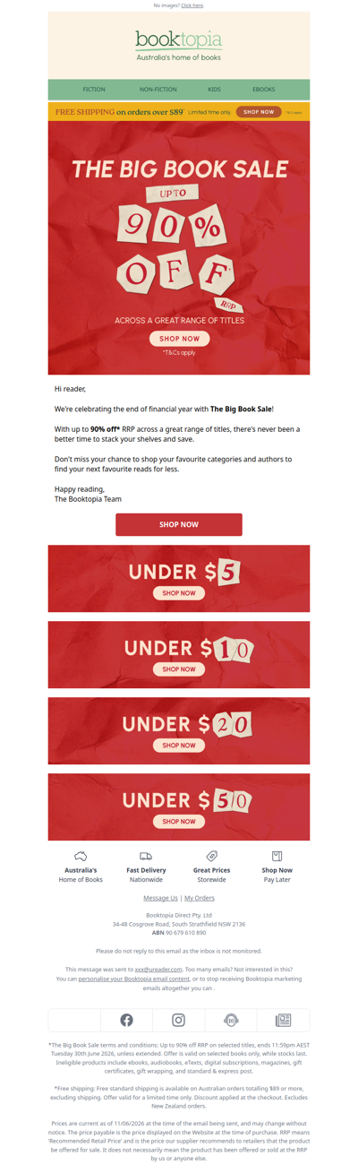
🚨Up to 90% OFF!* The Big Book Sale is on NOW!🚨
lifeisgood
US
·
2026-6-11
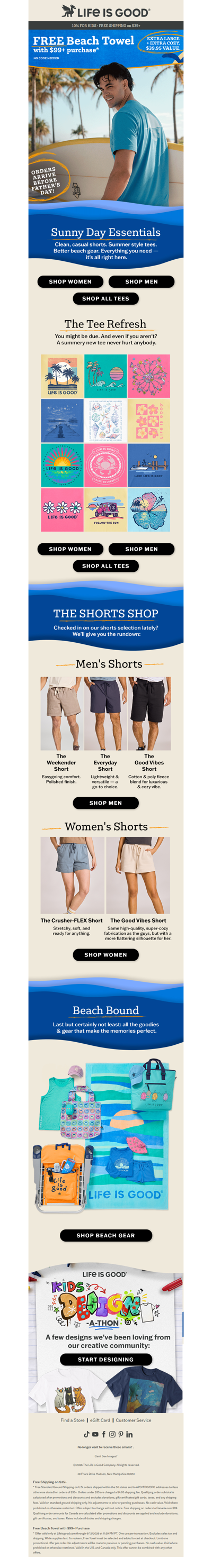
The Sunny Day Shop: Tees & Shorts
prezzee
AU
·
2026-6-11
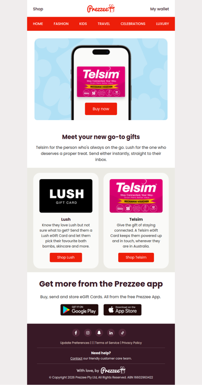
New on Prezzee: Lush + Telsim eGift Cards
1sale
US
·
2026-6-11
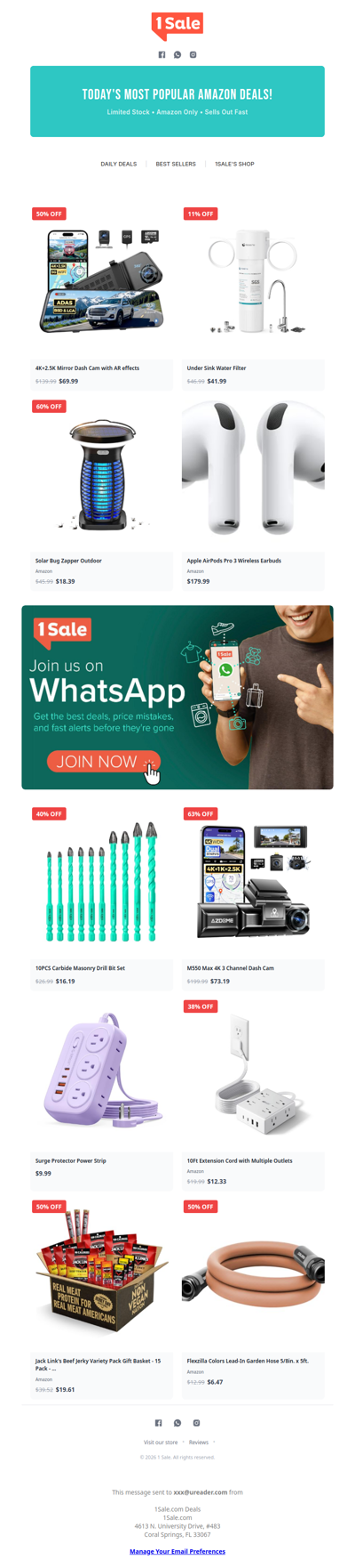
🎁 We Think You’ll Like What’s Waiting Inside (Amazon Deals)
bellababy
IE
·
2026-6-11
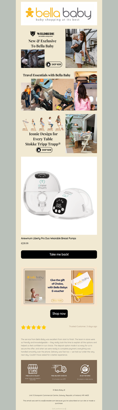
Forget something?
ozmobiles
AU
·
2026-6-11
What if your refurbished phone breaks?
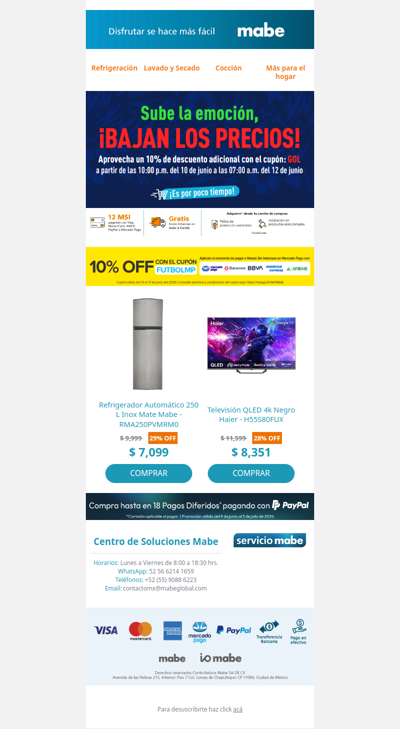
mabeglobal
GLOBAL
·
2026-6-11
¡Sube la emoción, bajan los precios!⚽💸
retravision
AU
·
2026-6-11
RAC Double Discount Weekend is ON NOW! 🎉
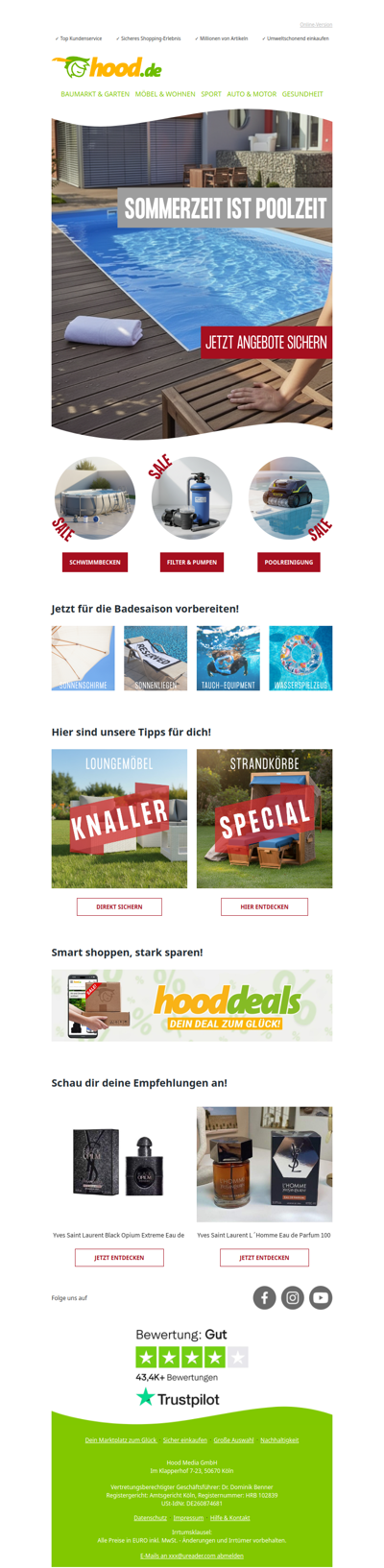
hood
DE
·
2026-6-11
Alles für den perfekten Poolsommer 🌞
1
2
3
4
5
©2024 UReader
Home
Brands
Marked Emails
Followed Brands
Privacy Policy & User Agreement