Newsletter Search Engine
Total 316370 mails
morph
AR
·
2026-6-18
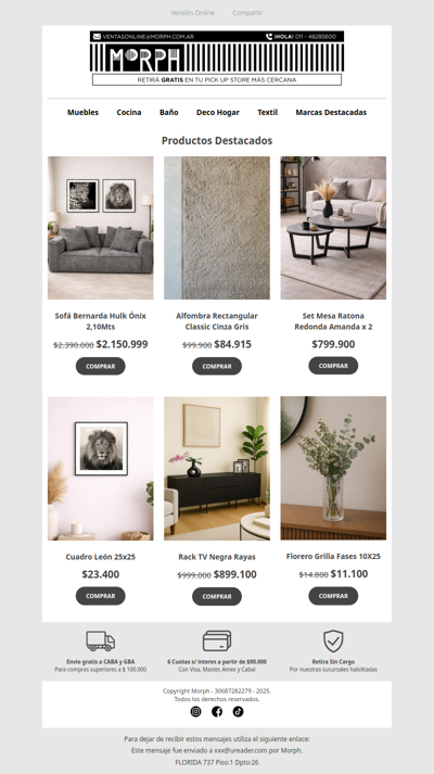
🛋️ Encontrá el estilo que buscás para tu living 🌿 Descuentos por tiempo limitado!

archonia
GLOBAL
·
2026-6-18
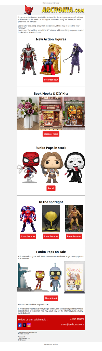
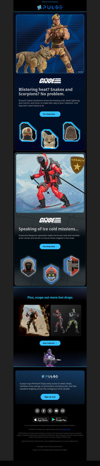
Attention collectors. Inside this message are new preorders you don't want to miss.