Newsletter Search Engine
Total 313517 mails

ponudadana
HR
·
2026-6-9
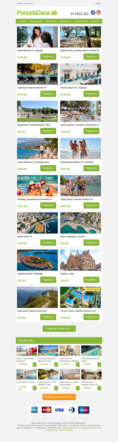
✔ Hotel Bristol 4, Opatija | Baška Voda, Family resort Urania 3 | Colentum Resort Murter 3 | Hotel Astoria 4, Opatija | Klagenfurt i Minimundus, izlet | Ljetni odmor u Hotelu Crikvenica 4 | Hotel Rivijera 3, polupansion