UReader
Brands
Sign in
Sign up
Newsletter Search Engine
Dates
2025 (205704)
2026 (56887)
2024 (51094)
Business Categories
General
(99785)
Other
(57078)
Home
(21837)
Fashion
(20886)
Electronics
(16538)
Literature
(11170)
Sports
(11034)
Art
(8475)
Machinery
(4996)
Health
(4652)
Food
(2901)
Country
GLOBAL
(36119)
CO
(19570)
NL
(17174)
AU
(16674)
GB
(14807)
NZ
(14726)
US
(13498)
BE
(13126)
DE
(8880)
FI
(8542)
CL
(7632)
CA
(7426)
PL
(7284)
RO
(7120)
ES
(6738)
HU
(6469)
ZA
(6402)
IL
(5947)
AR
(5916)
DK
(5624)
FR
(5276)
SK
(5207)
BR
(5144)
HR
(5055)
IT
(4971)
CZ
(4637)
PT
(4476)
SE
(4447)
IE
(3828)
GR
(3805)
NO
(3768)
SG
(3122)
CH
(3041)
BG
(2906)
RU
(2601)
MY
(2267)
UA
(2241)
MX
(2145)
AT
(2118)
JP
(2114)
PE
(1843)
RS
(1756)
TR
(755)
VE
(748)
IO
(665)
ID
(589)
TW
(584)
PK
(575)
IQ
(540)
HK
(497)
MA
(476)
PH
(434)
TV
(407)
AE
(315)
TH
(247)
KW
(188)
KP
(108)
VN
(54)
EG
(42)
IN
(8)
KZ
(4)
MD
(2)
NU
(2)
LT
(1)
BA
(1)
LK
(1)
Total 313685 mails
leonardo
RU
·
2026-6-10
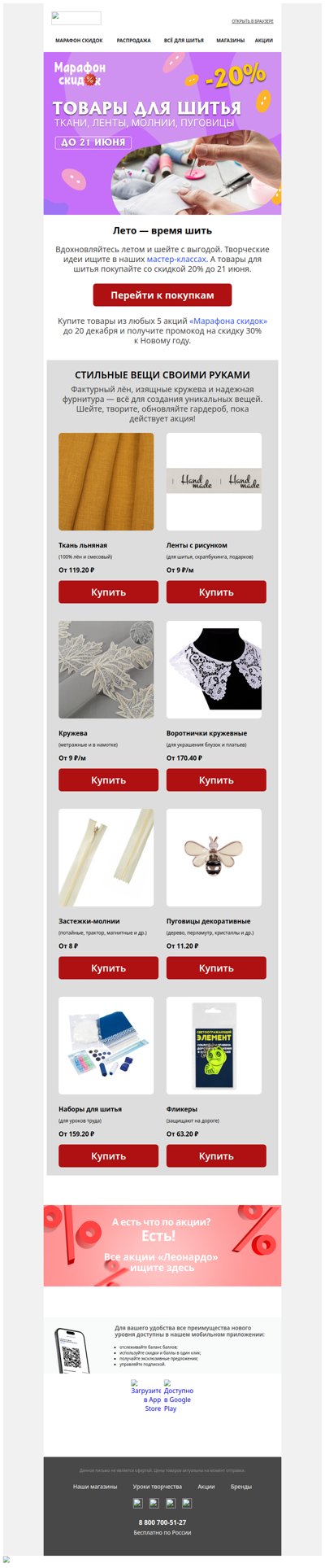
Лето — время шить
discountdragon
GB
·
2026-6-10
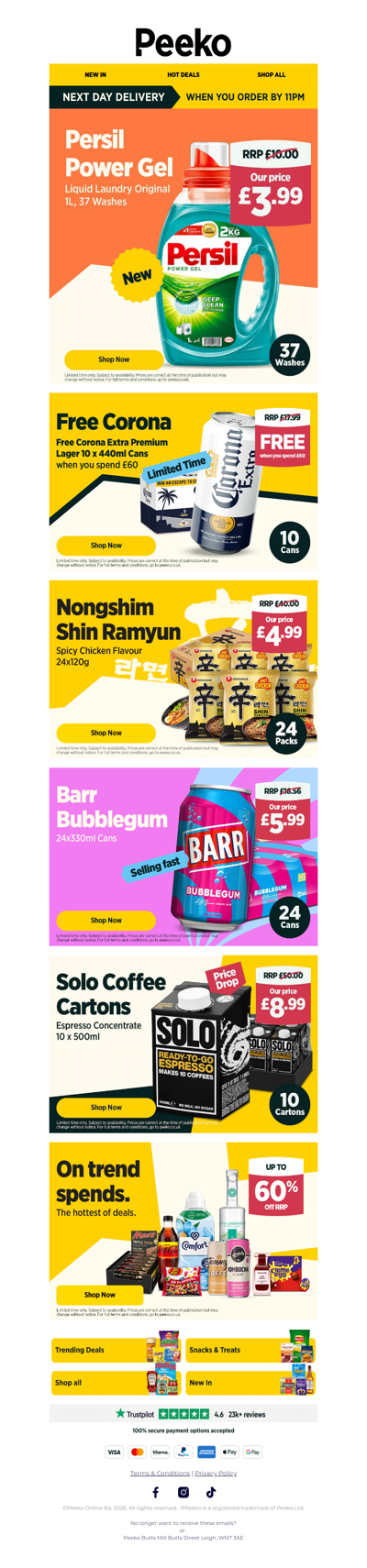
Persil for 11p a wash & FREE Beer when you spend £60...
moviezoo
DK
·
2026-6-10
Eventyret begyndte 11. juni 1993 🦖 Oplev klassikeren igen
action
GLOBAL
·
2026-6-10
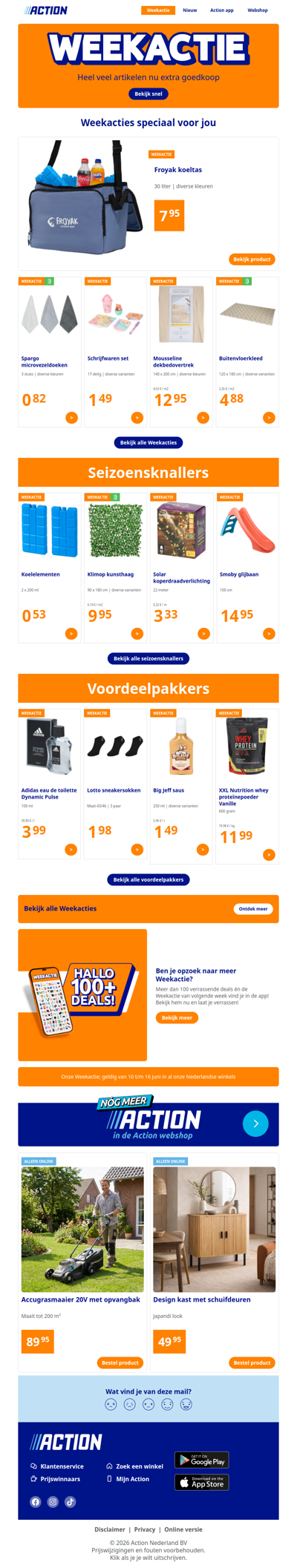
Onze Weekactie vanaf woensdag 10 juni
shop
GLOBAL
·
2026-6-10
Onze Weekactie vanaf woensdag 10 juni
puffkalica
HR
·
2026-6-10
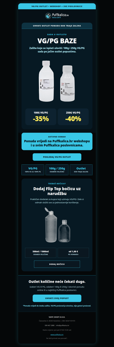
Puffkalica.hr - VG/PG OUTLET je krenuo: do -40%
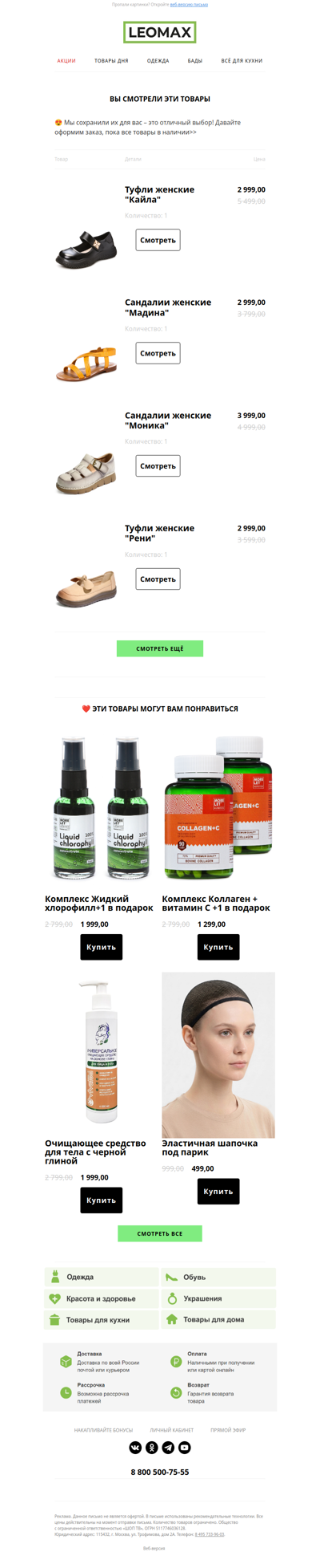
leomax
RU
·
2026-6-10
❤️ Сохранили их для Вас ❤️
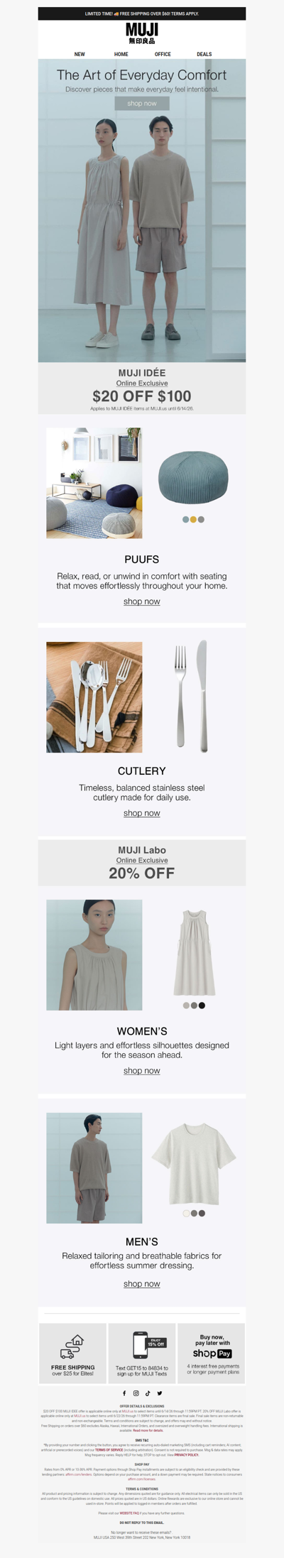
muji
US
·
2026-6-10
Elevate the Everyday With Simple Comforts
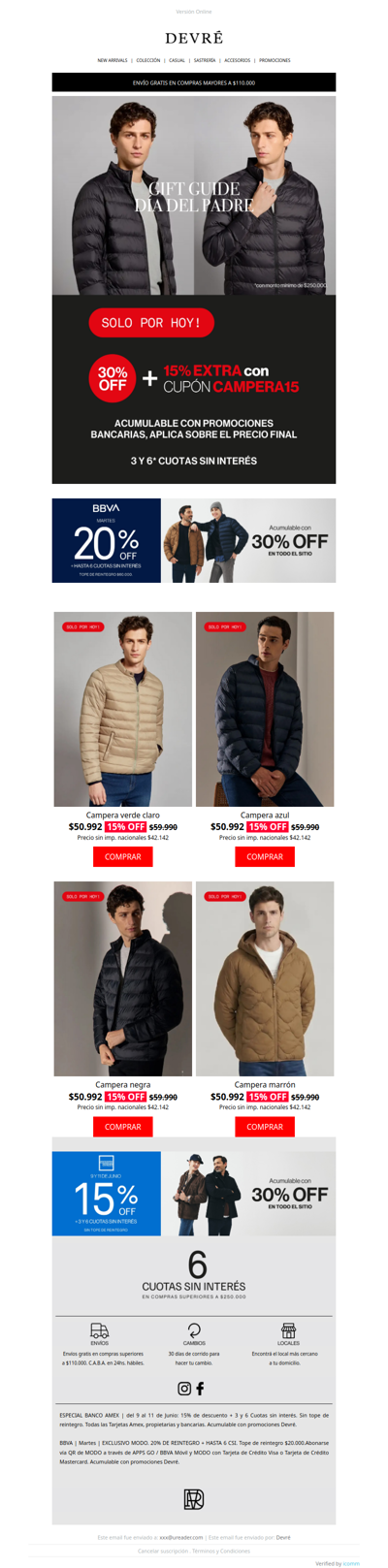
devre
AR
·
2026-6-10
💣 ¡Te regalamos un cupón! 30% OFF + 15% EXTRA en CAMPERAS | ¡Solo por hoy!
vriendin
NL
·
2026-6-10
Nina’s moeder vergiftigde haar vader👇
redflagdeals
GLOBAL
·
2026-6-10
Price Drops Worth Clicking on From Amazon, Rona, Domino's + more
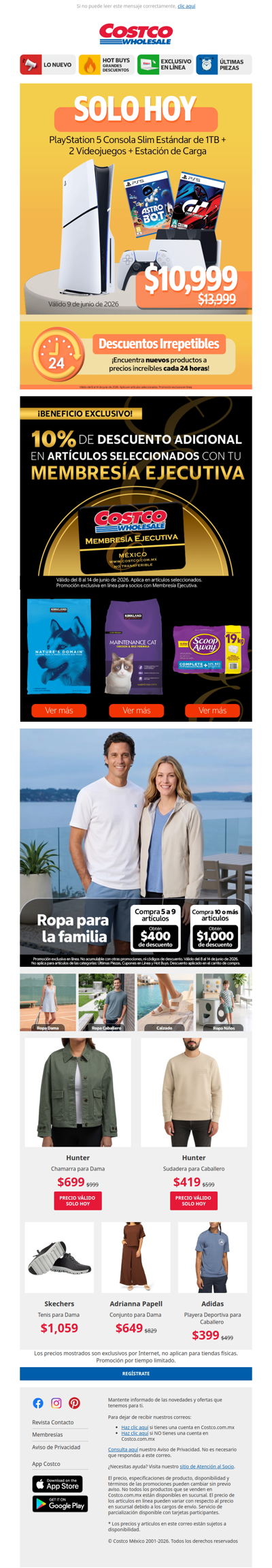
costco
MX
·
2026-6-10
10% de Descuento Adicional con tu Membresía Ejecutiva 🖤
1
2
3
4
5
©2024 UReader
Home
Brands
Marked Emails
Followed Brands
Privacy Policy & User Agreement