Newsletter Search Engine
Total 318113 mails

kogan
GLOBAL
·
2026-6-23
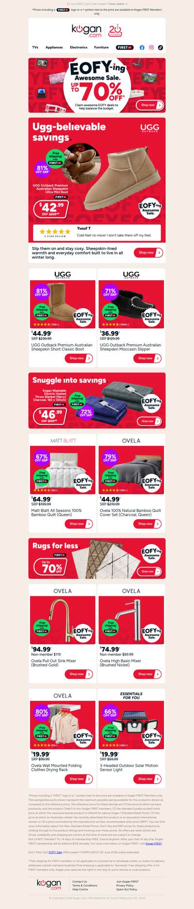
ONLY $42.99 🔥 UGG Outback Sheepskin Ultra Mini Boot (81% OFF standard retail price)


haywards
NZ
·
2026-6-23

A reminder to customers that our current Estate & General Goods Online Auction is closing from 6:00pm tonight.